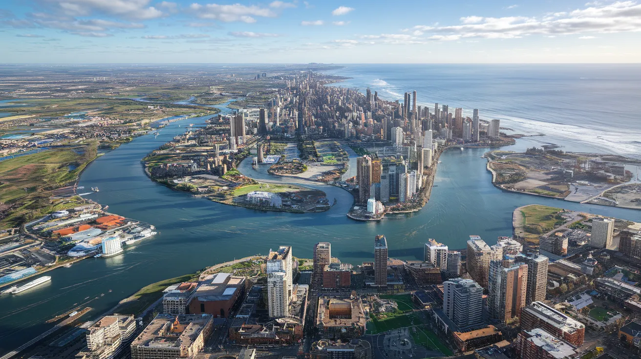
AI-Generated Satellite Images for Flooding

Visualizing the potential impacts of hurricanes on communities is crucial for effective preparedness. A team of scientists at MIT has recently developed an innovative method for generating satellite imagery to depict how regions might look after potential flooding events, which can aid residents in their decision-making process regarding evacuation.
AI Meets Physics in Flood Visualization
The new technique combines generative artificial intelligence with a physics-based flood model to create realistic, birds-eye-view images. To test this method, the researchers applied it to Houston, generating satellite images that illustrate how certain areas would appear post-storm, taking Hurricane Harvey’s impacts as a reference point. Upon reviewing these AI-generated images against actual satellite imagery captured after Harvey, researchers highlighted a significant leap in realism over traditional AI methods, which occasionally mapped flooding inaccurately in locations where it was physically impossible.
Proving the Concept with Realistic Simulations
This project’s foundational purpose is to serve as a proof-of-concept. It illustrates how generative AI models can produce realistic and trustworthy content when integrated with physics-based models. However, to effectively visualize flooding from future storms in different regions, the model requires training on a broader dataset of satellite images to capture various flooding scenarios.
Future Applications and Public Engagement
Björn Lütjens, leading the research in MIT’s Department of Earth, Atmospheric, and Planetary Sciences, envisions this tool as a significant advancement for public engagement during emergencies. He notes that enhancing visualization can potentially motivate residents to evacuate in high-risk scenarios. The tool, dubbed the “Earth Intelligence Engine,” is available online, allowing others to explore its capabilities firsthand.
Harnessing Generative AI for Climate Adaptation
The study expands on MIT’s ongoing efforts to leverage generative AI for visualizing climate scenarios. Senior author Dava Newman emphasizes the importance of localized simulations, as they are more relatable and impactful for the community. The research employs a conditional generative adversarial network (GAN), a machine learning method involving two competing networks that refine each other to produce high-fidelity images.
Addressing Challenges of Hallucinations
Despite the advantages of GANs, the researchers found that they can generate “hallucinations,” or inaccuracies that mislead viewers. Ensuring that AI models produce trustworthy, factually accurate images is paramount, especially in scenarios that can affect public safety. In their study, the team paired the GAN with a physics-based flood model, which utilizes real data about storm dynamics and local topography to mitigate hallucinations and enhance the accuracy of the generated imagery.
Impacts on Decision-Making Processes
The research team is optimistic that their methodology can significantly benefit local communities by providing a tangible representation of potential flood impacts, aiding decision-makers in crafting informed evacuation strategies. As Lütjens states, simulations that combine AI with physics for practical applications hold great promise for disaster preparedness, potentially saving lives when employed effectively.
The compelling results from this study highlight the transformative potential of integrating AI and physical models, ushering in a new era of proactive climate adaptation tools that empower communities facing natural disasters.